
Mapping a Shaker Heights Street by Address
Start with the exact address in the Cuyahoga Fiscal Officer's MyPlace property application. It supplies the permanent parcel number, also called a PPN, and the property or situs address. Those identifiers are more dependable than a street label when a lot has changed shape or an older deed uses a subdivision description. A Shaker Heights street directory search is strongest when it separates parcel ownership from a claim about everyone who may be at that address.
- Set MyPlace to Shaker Heights and search by Address or Parcel. Save the PPN, situs address, legal description, and the current transfer lead.
- Open the Transfers tab and View Map. Compare the parcel boundary with nearby lots, but treat the map as parcel context rather than a person list.
- Use the PPN, deed date, legal description, or party name in the Cuyahoga Official Records Search. Follow a seller backward as the next earlier buyer.
- For a named person, Ohio's voter tool requires first name, last name, and Cuyahoga County. Its later street selector narrows an individual result; it is not an open street browse.
- For an older date, check an address section or criss-cross volume at Cleveland Public Library, then compare its publication date with the deed and parcel evidence.
That sequence keeps each record in its lane. A deed ties parties to a recorded land event. A directory can show an adult or business compiler's address association for a particular year. Neither alone proves a full current household.
Shaker Heights Street Directory Starts With Parcels
A PPN is the permanent parcel number used to connect an address with the County's fiscal records. In Shaker Heights, the street number is subject to City building-number administration, while the parcel's legal description and lot information provide a longer-lived land reference. MyPlace offers General Information, Transfers, Values, Land, Building Information, Building Sketch, Other Improvements, Permits, Property Summary Report, and tax-year paths. The County describes the application as compiled public information, so the recorder or other custodian remains the source for an official record.
Use the result as an address trail, not as an automatic resident roll. A property address identifies the parcel. The owner mailing field is where the tax record is sent. Those two fields can differ for ordinary recordkeeping reasons, and neither identifies every person connected with an address. This distinction matters before carrying a name from a Shaker Heights street search into another record system.
Cuyahoga County's real-property information page explains the custodian relationship behind the property application.
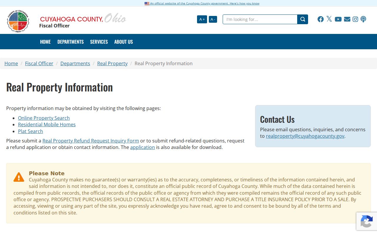
The County's notice is a practical reminder to inspect the recorded instrument when a legal conclusion depends on the result.
Shaker Heights Street Directory MyPlace Fields
MyPlace has a focused set of entry routes for address work. Select the City context before reading results on a street with a name that may also appear in another Cuyahoga municipality. Use a precise number when available. The transfer and permit tabs can then point to the next custodian or record, but their presence does not guarantee a complete historical file.
| MyPlace field or tab | How it works | Street-research use |
|---|---|---|
| Address | Text or autocomplete route | Find a parcel from a precise property address. |
| Owner Name | Text search | Retry a prior legal surname when a deed supplies one. |
| Parcel Number | Formatted text route | Reconnect the same land across address changes. |
| City | Context filter | Limit the result set to Shaker Heights after checking the parcel. |
| Transfers and View Map | Result tabs and mapping controls | Capture a dated land-event lead and parcel setting. |
County tax instructions show the address, owner-name, and parcel-number routes used to reach tax-year information.
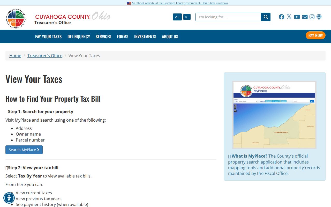
Tax data belongs to the parcel and taxpayer account. It should be read as property evidence, not as a roster of people on a street.
Note: Compare each property result with the exact parcel and source date before carrying a name into another record.
GIS Context Along a Shaker Heights Street
The Cuyahoga Fiscal GIS Hub adds the map setting that a property-card search lacks. Its parcel layer contains parcel, transfer, situs, mailing, valuation, land-use, and geometry fields. In the technical interface, a query can use text or object identifiers, geometry, spatial relationship, distance, selected output fields, and optional returned geometry. That is useful for checking which parcels share a boundary or for understanding a lot line. It is not a ready-made neighbor or household list.
The layer separates `PAR_ADDR_ALL` and `PAR_ZIP` from mailing fields and transfer names. That division explains why a street directory should never call a mailing contact a current resident. A careful use of the GIS view is visual: locate the parcel, note adjacent PPNs, and open each parcel individually in MyPlace or the recorder when a documented property question remains.
The Fiscal GIS Hub is the public entry point for the County's mapping applications.
Use the map to establish parcel geography, then confirm the controlling document with the appropriate County office.
Note: Parcels shown close together on a map do not establish a shared household or personal relationship.
Shaker Heights Street Directory Record Coverage
Address-keyed sources overlap, but no one source supplies every fact. The table shows the access chain documented for a Shaker Heights address. When an online result is thin, move to the listed office, library, or defined public-records request instead of assuming the missing detail is unavailable.
| Address record | Custodian | What it can show | How to reach it |
|---|---|---|---|
| MyPlace parcel record | Cuyahoga Fiscal Officer | PPN, situs, deeded owner, transfer, tax and permit leads | Address, owner, or parcel search online; custodian controls official record. |
| Fiscal GIS parcel layer | Cuyahoga Fiscal GIS | Parcel boundary, transfer and property-field context | Map application or technical layer query. |
| Recorded documents | Fiscal Officer Recording Division | Deeds, plats, mortgages, liens, parties and document placement | Online index and images where available; counter or defined request for a record. |
| Building cards and permits | City Building Department | Original construction and later work clues | Building card search, City channels, or a defined address/date request. |
| Address and criss-cross directories | Cleveland Public Library | Listed adult, subscriber, or business association in a selected year | Library paper, microfilm, or digitized volumes where available. |
The Ohio voter system is a separate, name-based confirmation channel. The public form needs first name, last name, and county before a street selector appears. Its public and confidential split under Ohio law means it must not be presented as complete street coverage.
Deed Links in Shaker Heights Street Searches
The Recording Division says its recorded-document data reaches from 1810 to the present. For a modern address, begin with the PPN and a narrow recorded-date range. If the address does not retrieve an older instrument, switch to the legal subdivision, section, condominium description, volume and page, document number, or party name. The advanced screen supports grantor and grantee roles, recorded and instrument dates, document types, parcel ID, property address, and an OCR document-image phrase. Use `LASTNAME FIRSTNAME` when the party-name prompt calls for it.
A street directory inquiry becomes a deed chain when the prior grantor is searched as the next earlier grantee. Record the grantor, grantee, date, deed type, PPN, legal description, volume/page, and document number at every link. This tests continuity rather than relying on a current display address. The portal's index-only and index-plus-OCR choices also handle multiword searches differently, so a spelling or phrase change can affect results.
The County parcel CAMA layer documents the field groups that connect parcel, transfer, situs, and mailing information.
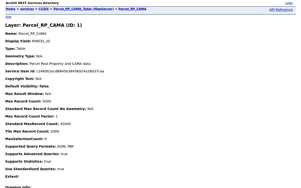
Read a transfer field as a lead back to the recorder, where the recorded document supplies the legal detail.
Note: County portal labels and result displays can change, so verify the live field name before saving a search.
Shaker Heights Street Records Beyond Deeds
Shaker's Building Card Database is an unusually useful address layer. It can search by street, street address, architect, original owner, builder, or keyword and links to parcel details and an original building-card PDF. The City reports more than 10,000 cards. A card can preserve original permit information, later permit numbers and dates, brief work descriptions, former numbers or names, sub-lots, and plan-file clues. It dates a building event; it does not establish who was present at the address afterward.
CitizenServe is the City's all-hours application system for building permits and several planning or review tracks. The publicly documented reports are narrower, with CAPTCHA on reports and account access required for most actions. For an older or specific item, use the Building public-records manager and make the request narrow by address, date range, and record type. The City says its public-records process can be routed online, by phone, email, mail, or in person, and inspection is free.
The City's Point-of-Sale procedure describes the property compliance process and its public lookup boundaries.
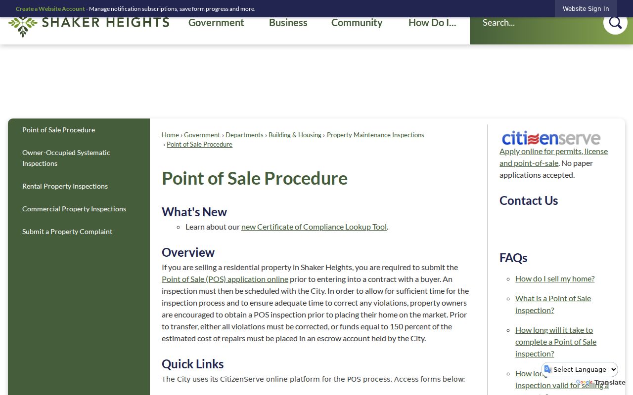
The public certificate lookup covers only currently valid certificates issued on or after May 1, 2025, not a full permit or past-resident history.
Shaker Heights Street Numbers and Geography
City Code section 1315.01 gives the Commissioner of Building authority to assign numbers to lots and parcels under the City plan, including multiple buildings, entrances, subdivisions, and lots. The research does not support a generic grid rule or a single citywide renumbering story. When a historic address looks wrong, compare the building-card annotation, PPN, legal description, plat, and historic map before deciding it is a different place.
Postal geography supplies another reason to check the parcel. Shaker Heights uses 44118, 44120, and 44122, but a ZIP, a Census ZCTA, a municipal boundary, and a postal-city line are not the same thing. MyPlace shows ZIP in a property result, while the recorder relies on the parcel and legal description. Use USPS for delivery format and the County or City recordholder for jurisdiction.
Historic Shaker Heights Street Directory Listings
For a historical address, the Cleveland and suburban directory runs offer a different kind of evidence. The address section begins in most local city and suburban volumes in 1929. Stand-alone criss-cross directories have print runs for 1923, 1925, 1926, 1960 through 1993, and 1996 through 2010, with specified microfilm runs at Cleveland Public Library. They can associate an address with a listed adult, business, or telephone subscriber during the volume's period.
Publication gaps and unlisted numbers matter. A blank entry does not establish that nobody was there. For the collection dates, volume types, and how to read a directory entry, use the Shaker Heights city directory collections. That historical source complements an address search without replacing a documented parcel or deed trail.
Note: Preserve the exact directory year because address sections and criss-cross runs have known publication and coverage gaps.
Shaker Heights Address Record Terms
Several record words make a street search easier to read. They identify the land record or the type of directory entry, not a claim about a whole household.
- Parcel or PPN
- The County's permanent parcel identifier, used to connect a property result, map, and recorded-document search.
- Situs address
- The physical property address recorded for a parcel. It identifies land, not every person connected with it.
- Plat
- A recorded map that lays out a subdivision, lots, streets, or related legal geography.
- Criss-cross directory
- An address-first directory that may list an adult, business, or subscriber for a selected publication year.
Shaker Heights Street Directory Privacy Limits
A street-by-street record trail has clear limits. Ownership and tax material identify a parcel relationship, not all people associated with the address. Ohio's voter search is name and county based, and confidential records can be excluded. BMV personal information is generally confidential under R.C. 4501.27, and utility or delivery data are not open street rolls. A no-result can also reflect a publication gap, protected record, CAPTCHA, or a source that was never designed for address browsing.
Lawful use. Use Shaker Heights address records for personal, lawful research, family history, property questions, or civic understanding. Do not use a record trail to stalk, harass, intimidate, or harm anyone; Ohio law protects confidential information and prohibits such conduct.
Safe at Home participants and eligible protected public-service workers can have address information withheld from voter access. Respect those protections and ask the recordholder about a lawful, defined copy or correction process when an important record conflicts.
Note: An index hit is a research lead, while the custodian's underlying document is the place to verify an important fact.