
Shaker Heights Neighbor Sources
A block inquiry works best when each source has a defined role. The county map can show parcel geometry. MyPlace can show a deeded owner, a mailing field, transfer history, and the parcel number. The Recording Division can confirm parties to a document. Voter tools are individual or dated-record channels, not a map roster. Community associations provide public contact context, while historical directories can show a listed adult or business at an address in a particular year.
| Source | Block Evidence | Access Route |
|---|---|---|
| Fiscal GIS Hub | Parcel boundaries, nearby parcel numbers, and technical land context | Public map hub or parcel-layer query; it has no one-click neighbor roster. |
| Cuyahoga MyPlace | Deeded owner, situs, mailing field, transfers, permits, and map link | Address, owner-name, or parcel search; compilation is not the controlling legal record. |
| Recording Division | Recorded deed parties and legal parcel history | Individual parcel, legal-description, party, or date search. |
| Ohio voter channels | A person's registration result or a dated county snapshot | Name-and-county search, public file, or narrow Board of Elections request. |
| City associations | Public community contacts and neighborhood context | City association directory; no City member or household roster. |
| Criss-cross directories | Historical listed adult, business, or subscriber at an address | Cleveland Public Library collection; publication and listing gaps apply. |
Property ownership and resident presence are different questions. A mailing address tells the tax system where to send correspondence. A situs address identifies the parcel. Neither field identifies every adult at that location. That distinction is central when looking for Shaker Heights neighbors without turning a property record into a household claim.
Define Shaker Heights Neighbors
Use a clear block definition before collecting any records. Adjacent normally means parcels that share a boundary. A home across the street may be nearby in ordinary conversation but not adjacent in the parcel map. The county GIS layer supports geometry, spatial relationship, distance, and parcel-field queries, yet it does not publish a named neighbors or radius result. State the method used instead of treating a loose area as one group of people.
MyPlace and the official parcel layer separate physical situs fields from owner-mailing fields. They can also show parcel ID, legal description, municipality, transfer date, grantor, grantee, sale amount, tax district, and land-use fields. Those details make a reproducible property trail. They do not prove that the deeded owner lives there or that a non-owner occupant is present.
- Parcel number
- The permanent parcel identifier, also called a PPN, used to connect map, property, and recorded-document records.
- Situs address
- The physical property address used to identify the parcel.
- Mailing field
- The correspondence address on a tax record, which may differ from the situs address.
- Legal description
- The subdivision, lot, or other land description that ties a parcel to recorded documents.
Map Shaker Heights Neighbors
The official adjacent-parcel workflow is manual and transparent. Start with a target address in MyPlace, select the Shaker Heights result by parcel number, then use View Map or the full map. Zoom until the parcels sharing a boundary are visible. Capture the PPN for each adjacent parcel and reopen it individually in MyPlace. For a recorded title question, take that PPN or legal description to the Recording Division, not a street label alone.
- Locate the target parcel through MyPlace by address, owner name, or parcel number.
- Open View Map and mark the parcels that share the chosen boundary definition.
- Record each adjacent PPN, situs, and the source date before opening a separate parcel result.
- Use Transfers, then the Recorder's parcel or party search, when a dated ownership question needs confirmation.
MyPlace offers General Information, Transfers, values, land, building, permits, property summary, and Tax By Year tabs. Its map link is a research aid, while the county says the underlying official custodian record controls. For a full named-street chain rather than the immediate block, use the Shaker Heights street directory lookup.
Note: A parcel split, a changed legal description, or a former street number can break an address-only trail, so preserve the PPN at every step.
Shaker Heights Neighbor Deed Trails
A map selection becomes a title trail only after individual record work. Cuyahoga's Official Records Search accepts a search term, recorded-date range, document number, grantor or grantee terms, and parcel identifiers with dashes. Its advanced search adds instrument date, document type, volume and page, property address, subdivision or condominium legal fields, and OCR document-image phrases. For older work, the legal description and party names may be more reliable than the current address.
Use a short date span and record the grantor, grantee, deed type, document number, and legal description for each result. A deed establishes a recorded property relationship. It does not establish which people live in the home. The Recorder reports filed-document data from 1810 to the present, but a result should still be checked against the image or requested document.
Shaker Heights Neighbor Voter Limits
Ohio's My Voter Information form is not a block-browse tool. It requires a first name, last name, and county before the initial result, with a street-name selector only after that point. The result can indicate registration, precinct, and polling location. It cannot be used to promise a complete nearby list. Under R.C. 3503.13, public voter data excludes identity numbers, phone, email, Safe at Home records, protected worker addresses, proof of citizenship, and other confidential information.
Cuyahoga Board of Elections publishes its department contacts for voter-registration and public-records questions.
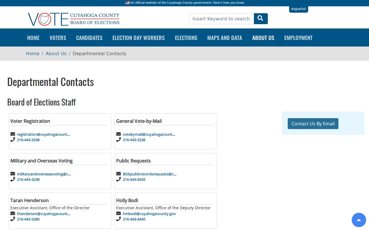
The Board is the appropriate contact for a defined records question when the statewide individual form or a dated data file does not resolve it.
The Ohio DATA Act archive provides direct county and day files plus custom date-range requests. County boards create a daily snapshot, and the Secretary retains the archive at least 22 months. Treat those records as dated registration data. Safe at Home and other protections mean they are not a full block census.
Shaker Heights Neighbor Contacts
Shaker Heights recognizes nine neighborhood contact layers: Boulevard, Fernway, Lomond, Ludlow, Malvern, Thornton Park/Mercer, Moreland, Onaway, and Sussex. They help a person identify a local community conversation or historical collection. The City provides public contact or social links for several associations, but it does not publish member, owner, or household rosters. An address alone does not establish participation in an association.
North and east areas
Boulevard, Fernway, and Sussex are City-recognized neighborhood associations with public community context.
Central community layers
Lomond Community Association, Ludlow Community Association, and Malvern Community Association are listed by the City.
Park and Moreland areas
Thornton Park/Mercer, Moreland on the Move, and Onaway Community Organization complete the City list.
The City neighborhood associations directory shows the public community-contact layer.
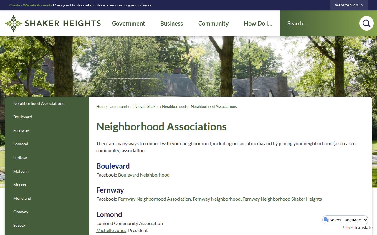
Use these associations for civic connection and local context, not as a substitute for a parcel record or an identity verification source.
Historic Shaker Heights Neighbors
For a past block, the local criss-cross and city-directory collections can link an address to a listed adult, business, or telephone subscriber in a specific year. Cleveland-area criss-cross directories have print runs for 1923, 1925, 1926, 1960 to 1993, and 1996 to 2010, with stated microfilm runs. Most local city and suburban directories have an address section from 1929. A listing is historical evidence of an association at publication time, not an ownership finding or a complete household list.
Cleveland Public Library's collections also reflect nonpublication years and unlisted numbers, so absence is not proof that a person was gone. The Shaker Heights historical city directory route is the right place for the collection runs, abbreviation keys, and dated-household reading method. A current neighbor question should return to parcel and court custodians instead.
Official Shaker Heights Neighbor Tools
Official records make their limits visible. They identify a custodian, record date, field purpose, and route to a document or correction process. Commercial neighbor-lookup tools may package public and nonpublic-source claims together, but their timing, coverage, and corrections can be unclear. A name list is less useful than a source that states whether it reflects a deed, a registration snapshot, or a historical directory.
| Official record path | Commercial neighbor category |
|---|---|
| Shows a defined record type, custodian, and source date. | May combine records with uncertain update dates or matching methods. |
| Supports a document, copy request, or correction with the recordholder. | May not show the underlying source or a direct correction path. |
| Separates parcel ownership, court role, registration, and historical listing. | Can blur those different relationships into a broad personal profile. |
For a block question, return to the source that can be dated and checked with its custodian. That is more useful than a broad profile with no clear record trail.
Shaker Heights Neighbor Privacy
Some block information must remain private. Public parcel fields do not reveal every household member. Utility and delivery records are not open resident rolls. Ohio Safe at Home participants can use substitute addresses, and voter records exclude confidential registrations and protected fields. BMV information has separate confidentiality rules. Court files can also be sealed or restricted. A result that is missing or redacted is not a reason to seek around the protection.
For a defined City record, Shaker Heights accepts public-records requests online, by phone, email, mail, or in person, and allows free inspection subject to lawful redaction. Police records have their own Information Unit and request form, with online, mail, fax, phone, and in-person channels. Requests should name an existing record, address, date range, and record type rather than ask the City to identify people around a block.
The Shaker Heights Police records request form is a separate channel for police material.
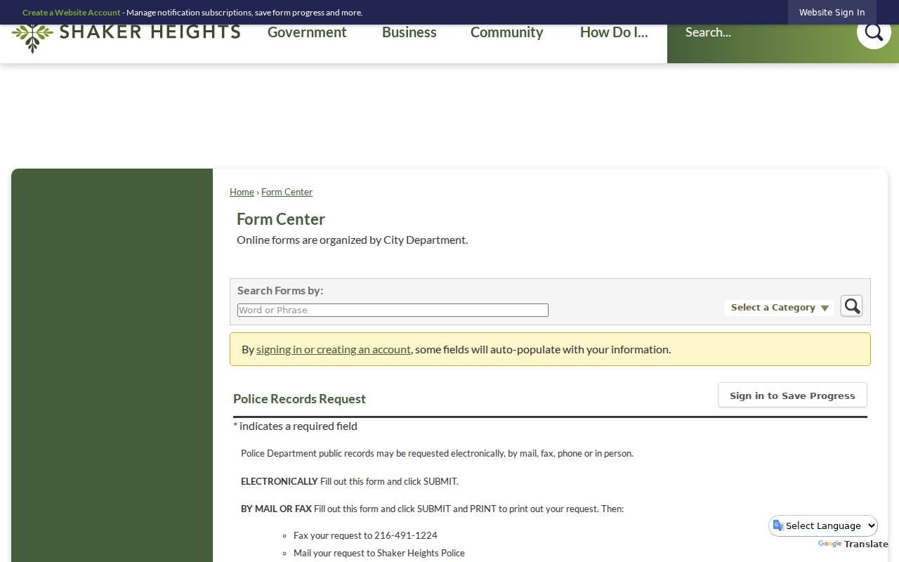
Its separate access route and exemption review show why an incident record is not a general neighborhood directory.
Lawful use. Use information about Shaker Heights neighbors for lawful personal research, civic connection, or safety awareness, never to stalk, harass, intimidate, or harm anyone.